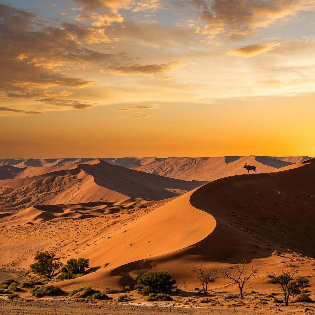
Editorial illustration of red Namib dunes with an oryx on a crest; not a photograph

Home / Destinations / Namib Desert

The Namib Desert

Where to see the desert in Namibia, how its parks fit together, and how many nights to give it.

A coastal desert, not one destination

The Namib runs the full length of Namibia's Atlantic coast and continues into southern Angola and north-western South Africa. The European Space Agency calls it perhaps the world's oldest desert, dry for 55–80 million years, and one of the driest places on Earth after Chile's Atacama.

Travelers rarely visit “the Namib” as one place. You see it in four or five distinct areas, each with its own base, access rules and character. The red dunes most people picture are around Sossusvlei; the coast towns give a cooler, foggier side of the same desert.

Where to see the Namib in Namibia

Most first trips combine the first and third areas: dunes at Sossusvlei, then the coast around Swakopmund.

Sossusvlei and Deadvlei

Namib-Naukluft Park, inside the UNESCO-listed Namib Sand Sea

What you see
The tallest red dunes, the clay pans of Sossusvlei and Deadvlei, Dune 45 and Sesriem Canyon.
Base
Sesriem area
Route fit
On every route: two nights on our 10-day trip, three on the 14- and 21-day trips.

NamibRand Nature Reserve

Private reserve south of Sesriem, bordering Namib-Naukluft Park

What you see
Open dune and mountain landscapes, fairy circles and some of the darkest night skies in Africa.
Base
A concession lodge or camp inside the reserve
Route fit
An alternative or an extra one or two nights near Sossusvlei. Activities are run by the reserve’s concessionaires.

The central Namib from Swakopmund and Walvis Bay

Dorob National Park and the northern part of Namib-Naukluft Park

What you see
The dune belt between the two towns, Sandwich Harbour where dunes meet the sea, the Welwitschia Drive, lichen fields and the Kuiseb River.
Base
Swakopmund or Walvis Bay
Route fit
Your coast days: two or three nights on our itineraries. Most desert outings here are half-day or full-day trips.

Naukluft Mountains

The mountainous east of Namib-Naukluft Park

What you see
Gorges and plateaus rather than dunes, with hiking trails, a 4x4 trail and Hartmann’s mountain zebra.
Base
Naukluft camp or guest farms nearby
Route fit
For hikers. Not part of our itineraries; add at least two nights.

The northern Namib

Skeleton Coast Park

What you see
Coastal dunes, gravel plains, shipwreck remains and seal colonies along a remote shoreline.
Base
Torra Bay, Terrace Bay or a fly-in camp
Route fit
A remote extension with its own access rules.

Namib-Naukluft Park and the Namib Sand Sea

Most of the desert you will visit lies in Namib-Naukluft Park. Its southern dune field, the Namib Sand Sea, became a UNESCO World Heritage Site in 2013 as a coastal fog desert with large, shifting dunes. The listed area covers 3,077,700 ha, plus a buffer zone of 899,500 ha.

Namib-Naukluft Park facts
Size49,768 km², Namibia’s largest conservation area
Created1979, by joining the Namib Desert Park (1907), the Naukluft Mountain Zebra Park (1968) and state land
Visitor areasSossusvlei and Sesriem, the Naukluft Mountains, the central Namib campsites, Sandwich Harbour, and the Kuiseb River with the Gobabeb research station
WildlifeOryx, springbok, Hartmann’s mountain zebra, brown hyena and 348 recorded bird species
Entry feeN$280 per foreign adult and N$60 per car per day since 1 April 2026; Sandwich Harbour has its own lower rate

See the full fee tablefor SADC, Namibian and children's rates; the same rates apply to Etosha and Namib-Naukluft. North of the Swakop River, the coast and the towns of Swakopmund and Henties Bay lie in a separate park, Dorob National Park.

How anything lives here

Fog is the water supply

Cold Atlantic air brings fog inland most mornings. UNESCO describes it as the main water source for the Sand Sea’s endemic insects, reptiles and mammals, which is why the dunes support far more life than they appear to.

Lichen fields

Large lichen fields grow on the gravel plains north of Wlotzkasbaken and around Cape Cross, living on fog. A single footprint or tyre track can damage them for decades, so stay on marked roads.

Oryx and desert-adapted animals

Oryx and springbok are the large mammals you are most likely to see. Smaller dune specialists, such as geckos, beetles and chameleons, are easiest to find with a guide on a morning dune walk near Swakopmund.

For species by region, see the Namibia wildlife guide.

Where to see welwitschia

Welwitschia mirabilis grows only in the Namib. It produces just two leaves in its lifetime, which split and fray into the tangled heap you see. Large plants are estimated to be well over 1,000 years old; the exact age cannot be measured without cutting the stem.

The easiest place to see them is the Welwitschia Drive east of Swakopmund, a gravel loop through the Moon Landscape to the Welwitschia Plains and a large fenced specimen about 50 km from town. It lies inside Namib-Naukluft Park, so buy a permit in Swakopmund before you go. Allow half a day.

Namibia placed the Welwitschia Plains on UNESCO's tentative list in 2002; they are not an inscribed World Heritage Site.

Fairy circles and NamibRand

Fairy circles are round, bare patches ringed by taller grass, repeated across the grassy fringes of the desert. Scientists still disagree on the cause. One group, writing in Science in 2013, linked them to sand termites eating grass roots. Another, led by researchers who have measured soil moisture in the circles, argues that grasses compete for scarce water and leave regular gaps. A 2017 study in Nature suggested the two processes may work together.

The NamibRand Nature Reserve, south of Sesriem, is one of the best places to see them. The private reserve covers about 215,000 ha of former farmland and became Africa's first International Dark Sky Reserve in May 2012. Visits are through its lodges and concession operators, which offer guided drives, walks and stargazing.

How many nights, and what to plan for

Give Sossusvlei at least two nights so that one full day is free for the dunes. The coast adds the cooler central Namib. Our itineraries plan the Sesriem area like this:

Before you drive into the desert

Namib Desert questions

Where is the Namib Desert?

It runs along the Atlantic coast from southern Angola, through the full length of Namibia’s coast, into north-western South Africa. In Namibia, its best-known areas are Sossusvlei, the dunes between Swakopmund and Walvis Bay, and the Skeleton Coast.

Is the Namib the oldest desert in the world?

Possibly. The European Space Agency describes it as perhaps the world’s oldest desert, with dry conditions stretching back 55–80 million years, and as one of the driest places on Earth after the Atacama.

Is Sossusvlei in the Namib Desert?

Yes. Sossusvlei and Deadvlei lie in Namib-Naukluft Park, inside the Namib Sand Sea that UNESCO listed as a World Heritage Site in 2013.

Can I see the Namib Desert from Swakopmund?

Yes. The dune belt between Swakopmund and Walvis Bay is part of it. Half-day dune tours, Sandwich Harbour trips and the Welwitschia Drive all start from the coast. The tall red dunes, however, are around Sossusvlei, five to six hours’ drive south.

Do I need a 4x4 for the Namib Desert?

Not for the main gravel roads to Sesriem or for the tarred park road to the Sossusvlei parking area; a sturdy, high-clearance vehicle is enough in normal conditions. The final sand section to Sossusvlei and Deadvlei needs a 4x4 and sand-driving experience, or the shuttle. Sandwich Harbour needs a permit and serious sand driving, so most visitors go with a guided tour.

The hero image is an editorial illustration, not a photograph of a specific place.

Related guides

Plan your desert days

Use these related guides to keep the route, budget, booking checks, and departure prep connected.