Lüderitz town
Use the compact centre for accommodation, meals, museums, harbour views, and a street-level reading of colonial-era buildings. Confirm whether individual interiors are open rather than assuming every heritage building admits visitors.
Home / Destinations / Lüderitz & Kolmanskop
Plan a southern Namibia stop around coastal conditions, controlled ghost-town access, and a fuller reading of colonial and mining history.
Southern Namibia orientation
Lüderitz sits between a rocky Atlantic coast and the southern Namib. The town is the practical base for Kolmanskop, the peninsula around Diaz Point, local museums and heritage buildings, and any authorized excursion into the wider restricted landscape. These are separate visits with separate access assumptions.
Kolmanskop is not an open-access ruin, and Tsau //Khaeb is not a national park that visitors can freely cross. Plan the official permit first, keep weather flexibility for the coast, and leave space to understand how colonial rule and diamond extraction shaped what you see.
Use the compact centre for accommodation, meals, museums, harbour views, and a street-level reading of colonial-era buildings. Confirm whether individual interiors are open rather than assuming every heritage building admits visitors.
The former diamond-mining settlement is a controlled visitor site within the restricted landscape east of town. A ticket functions as a site permit, and the permit does not authorize travel beyond the marked Kolmanskop area.
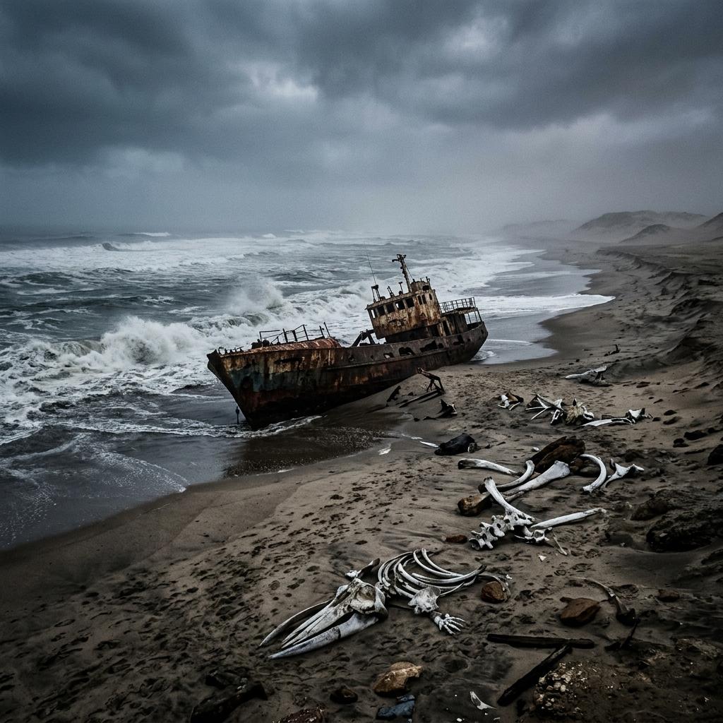
Diaz Point and other coastal stops add exposed cliffs, bays, wind, fog, and changing sea conditions. Check local weather and road notices before treating the peninsula as a fixed sightseeing circuit.
Diamond wealth, German colonial architecture, Nama and Ovaherero memory, maritime history, fishing, conservation, and the present-day town belong in the same account. The sand-filled rooms are only one layer.
Kolmanskop access
The official operator publishes the current ways to visit. Use that page close to travel because admission windows, tour departures, purchase points, and fees can change. Do not copy an old schedule into a driving plan.
The official operator publishes standard admission and a separate photography-oriented day pass. Opening windows, tour departures, fees, and purchase points can change, so use the operator page shortly before visiting.
Scheduled guided visits and an operator-provided audio option are currently described. Only the authorized site guides may conduct guided tours, so an outside guide cannot simply lead a group through the ruins.
Kolmanskop admission covers Kolmanskop only. It does not open the wider mining area or Tsau //Khaeb National Park. Obey barriers and signs, and use an authorized concession trip for any separately offered restricted-area route.
The current operator rules prohibit drones and night access. A photography pass may use a different daytime window, but it does not waive building closures, site boundaries, or protected-area rules.
MEFT connects the diamond rush at Kolmanskop to the 1908 discovery made by railway worker Zacharias Lewala and to the closure of the surrounding diamond area. A responsible account should keep Lewala, labor, control of the mineral wealth, and the effects of a restricted extraction economy in view—not present the settlement only as European luxury reclaimed by sand.
Use the guided interpretation and museum material critically: ask whose lives are named, which workers are missing from the surviving record, who controlled access and profits, and why activity shifted elsewhere. Do not remove objects, enter closed rooms, or stage photographs that trivialize the site’s history.
Lüderitz has a concentrated group of early twentieth-century buildings recorded by Namibia’s National Heritage Council, including commercial premises, residences, a former bank, and the railway station. Their façades and interiors document the colonial and diamond economies; they should not be treated as a detached European style collection.
Build a walk around what is publicly visible, then confirm any museum or interior visit. The Lüderitzbucht Museum is listed by the Museums Association of Namibia as covering town, diamond-mining, natural-history, and Indigenous-community material, but current access should be checked directly.
Read our editorial standardsDuring German colonial rule, Shark Island was used as a concentration camp where Nama and Ovaherero prisoners were held and many died. Its location beside the harbour does not make it simply a viewpoint or recreation stop.
Visit quietly, read the memorial material, avoid celebratory or costume-style photographs, and respect any current heritage protections or community requests. The site belongs in the story of Lüderitz whenever colonial buildings and diamond wealth are discussed.
Tsau //Khaeb (formerly called Sperrgebiet National Park) occupies a large part of southwest Namibia around a long-restricted diamond landscape. MEFT describes public access as restricted while identifying Kolmanskop as open to visitors and a concession route from Lüderitz toward Pomona and Bogenfels.
That does not imply permission on any road between those places. Ask an operator to name its concession and exact route, or treat barriers and restricted-area signs as the end of independent access.
The National Heritage Council records the site of the original padrão raised by Portuguese navigator Bartolomeu Dias in 1488; the original stone did not remain intact at the point. Read the marker as evidence of European maritime expansion, not as the beginning of human history on this coast.
The peninsula is exposed to wind, fog, cold air, surf, and changing visibility. Stay on permitted roads and paths, keep back from cliff edges, and do not infer safe swimming or rock access from a clear-looking day.
Getting there
Availability is date-specific. Compare the complete journey into town and onward to each attraction, not just the long-distance leg.
| Choice | Useful for | Confirm before booking |
|---|---|---|
| Self-drive via the B4 | Pairing Aus, Lüderitz, Kolmanskop, and a broader southern route with your own vehicle. | Current road and windblown-sand notices, fuel plan, rental cover, daylight margin, and the condition of any peninsula or accommodation access road. |
| Flight to Lüderitz Airport | Reducing the long overland approach when a suitable service operates on your dates. | Live schedule, operating airline, baggage allowance, disruption terms, and a named airport-to-town transfer; do not assume Kolmanskop transport is included. |
| Guided southern itinerary | Travelers who want driving, interpretation, and restricted-area logistics coordinated. | Namibia Tourism Board registration, exact local operator, route, permits, vehicle, group structure, inclusions, and which restricted area the operator may enter. |
Access varies by building, path, vehicle, weather, and the assistance actually booked. Ask functional questions and retain written supplier answers.
Planning essentials
Make Lüderitz a route anchor with its own permit and weather margin. Fish River Canyon is a separate regional stop, not a same-day attraction, and the return north needs its own transfer plan.
Route role
Lüderitz works as a deliberate southern stop rather than a quick detour from Namibia’s central and northern loop. Pair the journey with Aus and, when the overall trip is long enough, Fish River Canyon.
First booking check
Choose a guided, standard, or photography-oriented visit from the current official offer, then build the town and peninsula around that access window.
Main uncertainty
Wind, fog, sea state, flight operations, and windblown sand can change the order of a day. Keep a town or museum alternative available.
| Option | Best for |
|---|---|
| Lüderitz and Kolmanskop base | Town history, the visitor site, museum time, and a flexible peninsula drive. |
| Southern self-drive loop | Connecting Fish River Canyon, Aus, Lüderitz, and the route north toward the Namib. |
| Authorized restricted-area tour | A separately operated route toward places such as Pomona or Bogenfels when currently offered. |
Compare the road distance, Fish River Canyon pairing, accommodation nights, Kolmanskop access, and weather margin as one plan.
Open the Route Planner